November 1, 2026 · By MooveTrax
Live Passenger Tracking for Shuttles and Buses: What It Actually Takes to Set Up
Passengers judge a shuttle service by one question: "Where is the bus right now?" Answering it in real time is cheaper than most operators expect, but the options are confusing because three very different approaches get lumped together under "live tracking." This guide covers what each one actually requires, what the category costs, and how to pick.
The Foundation: One GPS Device Per Vehicle
Every approach starts the same way: each vehicle needs a cellular GPS unit reporting its position every 30-60 seconds. Devices come in three forms -- OBD-II plug-ins (install in seconds), hardwired units (tamper-resistant, better for commercial buses), and battery-powered trackers (no installation, but need recharging). Hardware runs from roughly $40 for a basic plug-in to $150-$200 for a hardwired unit with extras like remote immobilization; some fleet platforms bundle "free" hardware into longer contracts.
Monthly software costs across the category, based on published and reported 2025-2026 pricing:
- Full fleet-management platforms: Verizon Connect starts around $20-$23.50 per vehicle per month on a 3-year contract; Motive around $25-$35; Samsara roughly $27-$33 on a 36-month term, climbing past $40 with dash cams. These include maintenance, compliance, and driver-safety tools many shuttle operators never use.
- Tracking-focused platforms: typically $10-$18 per vehicle per month, often month-to-month.
- Rider-facing transit apps (Passio GO, TripShot, and similar): custom-quoted, usually sold to universities, hospitals, and corporate campuses as annual contracts layered on top of the GPS hardware.
Budget realistically: for a five-shuttle operation, expect $200-$1,000 upfront in hardware and $60-$175 per month, before any rider-facing app layer.
Three Ways to Put the Map in Front of Passengers
1. A Dedicated Rider App
Platforms like Passio GO and TripShot give riders a branded app showing live vehicle positions, stop ETAs, and arrival alerts. Universities such as Emory, Rochester, and Wake Forest run their shuttle systems this way. Apps work well when the same people ride every day -- students, hospital staff, corporate commuters -- because the install cost is paid once and the alerts earn their keep. The weakness: every new rider must find, download, and open an app. For a hotel guest catching one airport transfer, that almost never happens.
2. A Link or QR Code (No App)
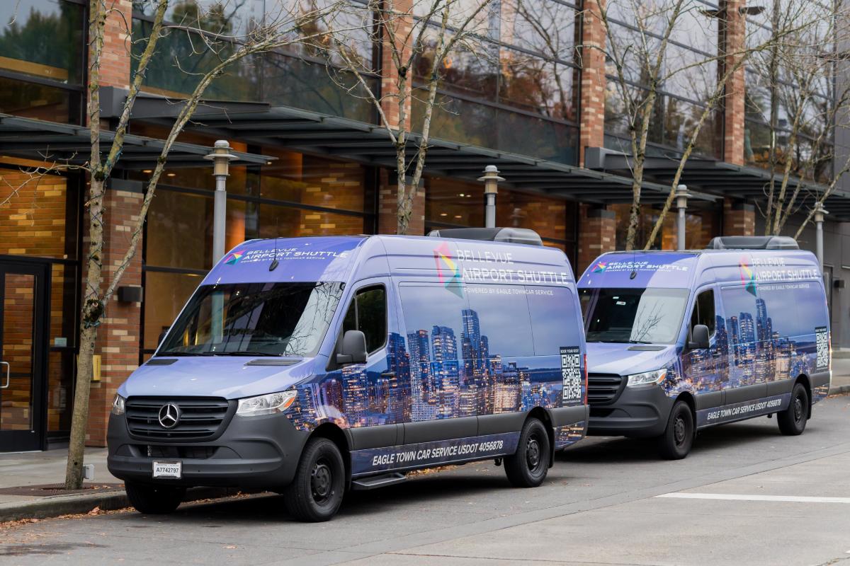
The second approach skips the app store. The operator generates a web link or QR code tied to a vehicle or route; the passenger scans a code at the pickup point or taps a link in a confirmation text and sees the live map in their browser. Nothing to install, nothing to create an account for. This fits one-time and occasional riders -- hotel transfers, event and wedding shuttles, tour groups, charter runs. The tradeoff is fewer bells and whistles: no push notifications or saved favorite stops, since there's no app holding them.
3. GTFS-Realtime: The Public Transit Standard
GTFS-realtime (GTFS-RT) is the open data specification, maintained in the GTFS project originally developed with Google, that public transit agencies use to publish live data. A GTFS-RT feed carries three things: vehicle positions, trip updates (delays and cancellations), and service alerts, encoded in Protocol Buffers and fetched by consumers roughly every 30 seconds. It's what makes your city bus appear live in Google Maps and the Transit app.
Here's the part private operators should understand before paying for it: GTFS-RT exists for interoperability. It lets any app consume any agency's feed. But Google's Transit Partner program only accepts feeds for publicly accessible, fixed-route, scheduled service -- a private employee shuttle or charter bus doesn't qualify for Google Maps placement in the first place. Publishing a spec-compliant GTFS-RT feed also means maintaining static GTFS schedule data (stops, routes, calendars) alongside it, which is real ongoing work. If you run a municipal circulator or an open-to-the-public campus route, GTFS-RT is the right investment. If your riders are your own customers or employees, it's overkill -- a simple map link reaches them with none of the overhead.
Where MooveTrax Fits
MooveTrax sits in the link-based camp. Its GPS hardware runs $40 (plug-in KS unit) to $165 (hardwired MT3V, which updates every 30 seconds), with service at $12.50-$15 per vehicle per month and no rider-facing app required: operators share a tracking link or QR code and passengers watch the vehicle in a browser. That pricing lands below the big fleet-platform tier because it skips things shuttle operators often don't need -- ELD compliance, AI dash cams -- while keeping geofencing and toll tracking. It is not a GTFS-RT publisher, so it won't put your route in Google Maps; as covered above, private operators generally can't get there anyway. Current plans are listed at moovetrax.com/pricing.
How to Decide
- Same riders every day (campus, employee commute): a rider app with alerts justifies its cost.
- One-time or occasional riders (hotels, events, tours, charters): link/QR tracking -- lowest friction, lowest cost.
- Open-to-the-public fixed routes: GTFS plus GTFS-RT, so Google Maps and Transit can carry your service.
Whichever layer you choose, the per-vehicle math is the same: a one-time hardware cost, a monthly line item of roughly $10-$35, and a decision about how your specific riders will actually open the map.